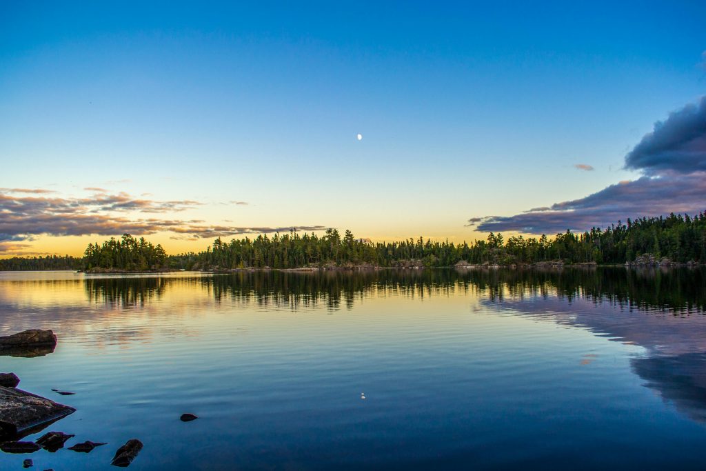
Where goodness and fondness for the outdoors exists.
In every walk with nature, one receives far more than he seeks” – John Muir
In every walk with nature, one receives far more than he seeks” – John Muir
ABOUT US
Thankfully all those hikes have rubbed off and my enthusiasm has not abated in my adulthood.
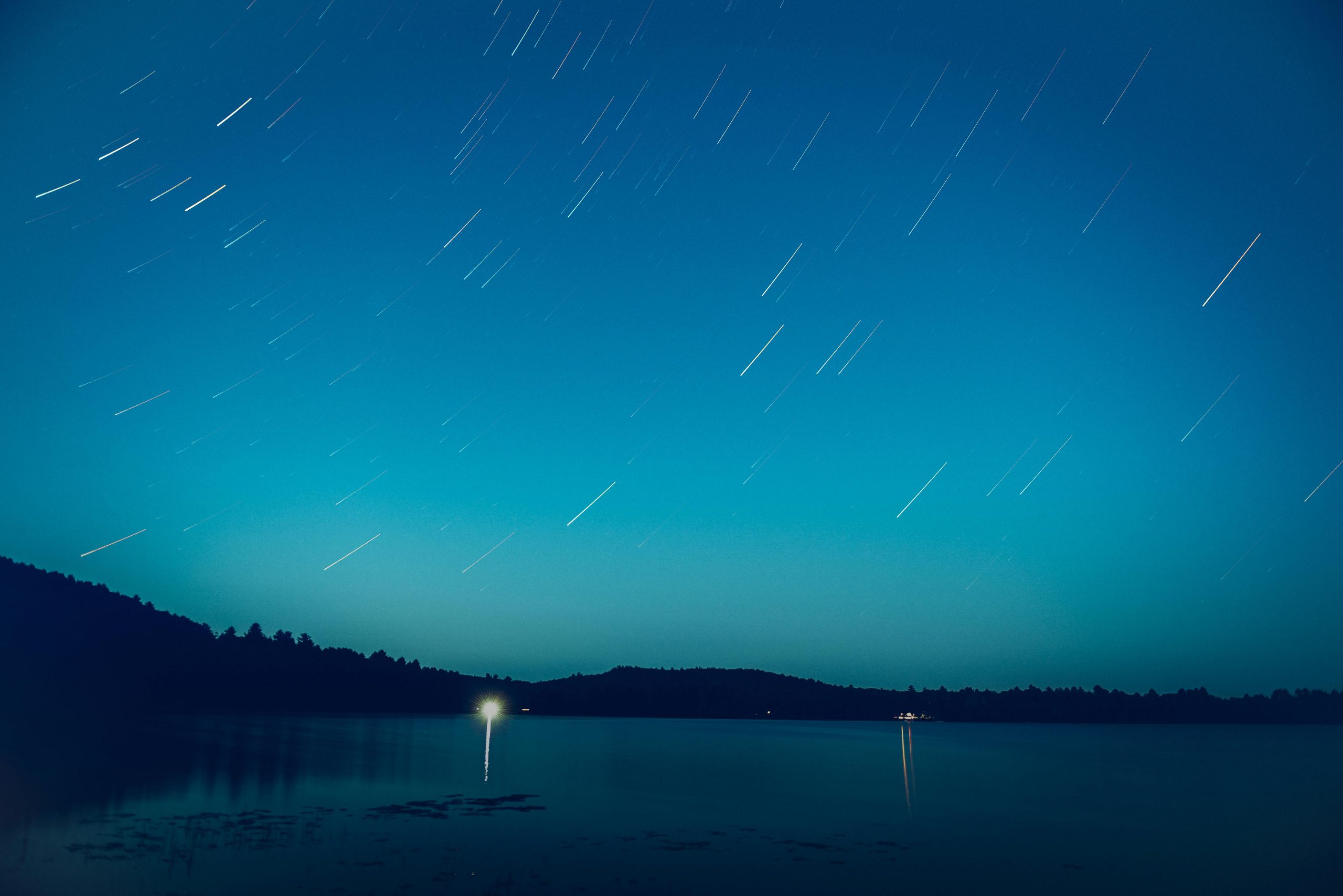
I love backpacking, hiking, fishing, and camping. The best backpacking trip I’ve ever done was a three day hike through the Rockies in Alberta, carrying everything I needed on my back. It was super special because I was able to reset, to spend time alone with my thoughts.
So thanks for being here and stay tuned for some Canadian outdoor talk!
I am taking my first ever trip to PEI!! I remember hearing about it first back when I was a school girl and reading Anne of Green Gables. Ever since then I knew that I had to go, but almost thirty years later I have not yet gone. What was the catalyst? Well, I was…
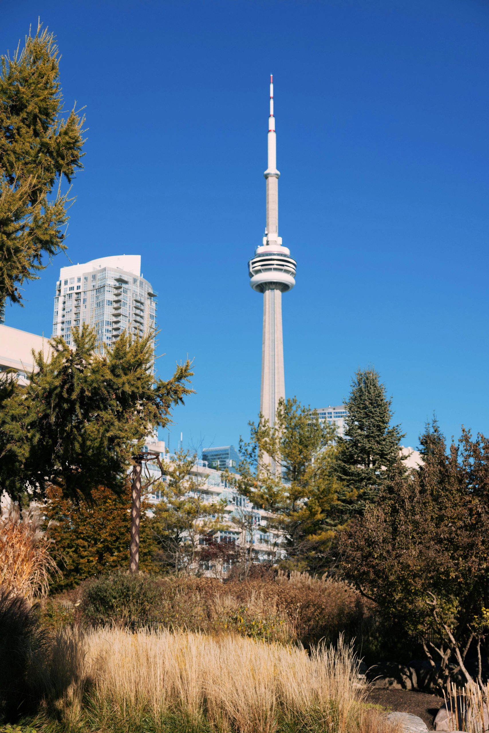
The other day we had a break in the weather here in Toronto. February I usually grey and bleak, the worst month in the entire year. I am still struggling with the lack of sun even through I’ve lived here for almost ten years. But the sunny day happened to be a day where I…
To the naked eye, there is not much happening in the Bonnechere River valley in February. There are no birds chirping, no skitter-scatter of squirrel’s feet on the underbrush. It’s just quiet. I don’t see any herons looking for their next meal or fish swimming in the quiet pools off on the side. It’s that…

Copyright 2024 By Love Nature. All Rights Reserved.